Sajaa Industrial Area Location Map – Navigate Warehouses & Key Zones
The Sajaa Industrial Area in Sharjah is one of the UAE’s most significant industrial hubs. Known for its strategic location, extensive infrastructure, and vast warehouses, Sajaa plays a crucial role in Sharjah’s logistics and manufacturing sectors. Whether you are a business owner, logistics coordinator, investor, or simply someone trying to locate a specific site, understanding the Sajaa Industrial Area location map is essential for smooth navigation and effective operations.
This guide will walk you through every key aspect of the Sajaa Industrial Area map—from accessing warehouses to identifying nearby zones, roads, landmarks, and key industrial sectors. By the end, you’ll have a clear understanding of the layout and best practices for moving around this industrial hotspot.
Understanding the Sajaa Industrial Layout
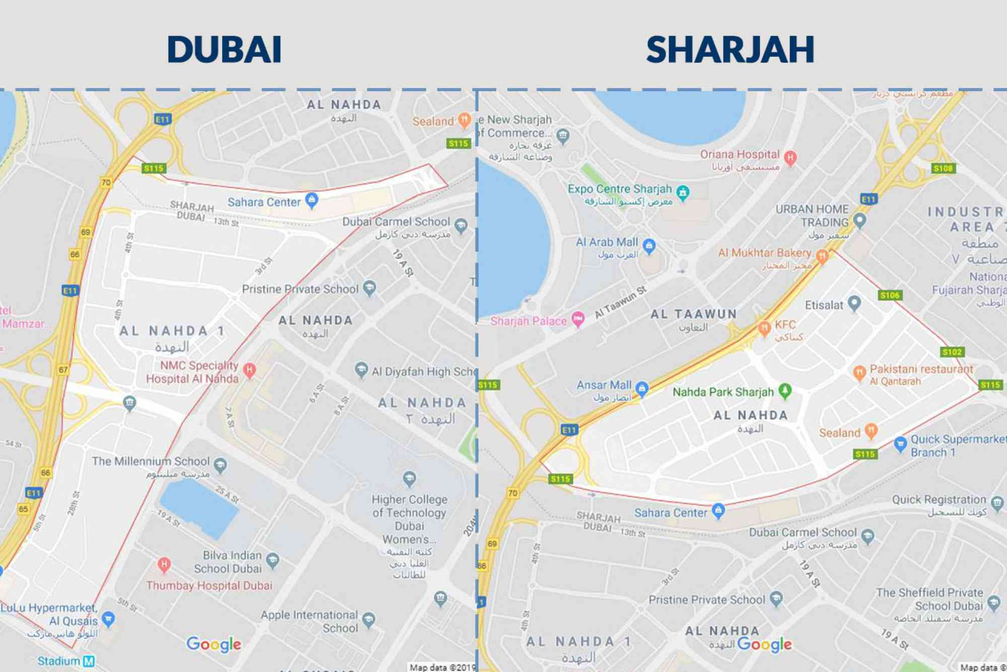
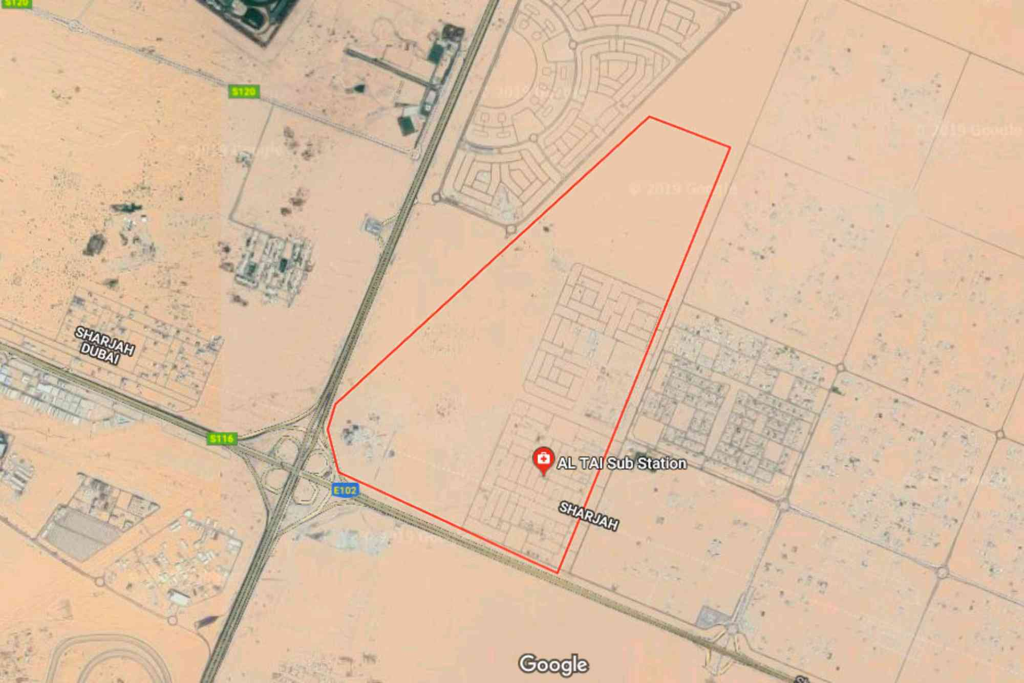
The Sajaa Industrial Area is located in the northern part of Sharjah, bordered by the Emirates Road (E611) and close to the Sharjah Airport and Al Dhaid Road (E88). This prime connectivity makes it an ideal location for warehousing, transport companies, and light-to-heavy industries.
Sajaa is laid out in a grid-like pattern that simplifies navigation. Major roads cut across the area, dividing it into blocks or zones. These blocks usually contain clusters of warehouses, workshops, and factories. Each block is identified by numbers and road names, which helps users pinpoint exact locations using a digital or printed Sajaa Industrial Area location map.
The layout is also optimized for large vehicle movement. Roads are wide enough for trucks and containers, and service roads provide additional access routes to loading docks and warehouse bays. The map reflects this logistics-first design, showing turning points, junctions, and exits clearly.
Key Zones and Warehousing Areas
Warehousing is the beating heart of Sajaa. Many businesses rent or purchase massive industrial units here due to affordability, space availability, and road access. The warehouses in Sajaa cater to a range of industries, including construction, automotive, heavy machinery, retail logistics, and food storage.
The Sajaa Industrial Area location map typically identifies high-density warehousing sectors along Roads 10, 17, and 25. These are lined with long warehouse rows, each offering loading docks and yard space. Road 10 is considered one of the busiest logistics arteries, often used by freight companies due to its direct access to E611.
Other key areas highlighted in the map include the labor accommodations to the southeast and recycling or material processing zones further north. Industrial activities in Sajaa are carefully zoned to prevent interference, with chemical storage and fabrication units positioned away from food and packaging zones.
Maps also help distinguish between rented versus freehold warehouses. Freehold zones usually appear in western parts of Sajaa, where property ownership is open to UAE and GCC nationals. Rental zones are scattered more densely in the central areas, often managed by real estate groups like Sharjah Asset Management.
Road Access and Transportation Links
Navigating Sajaa efficiently requires a good grasp of road access points and traffic patterns. The Sajaa Industrial Area location map reveals multiple entry and exit points connected to the wider Sharjah and UAE highway system.
One of the most important arteries is the Emirates Road (E611), which borders Sajaa to the west. From here, trucks and cargo can reach Dubai, Ajman, and Abu Dhabi swiftly. The E88, or Al Dhaid Road, cuts through the eastern edge, providing direct routes toward Sharjah city center and the interior regions of the emirate.
Internal roads such as Street 8A, 12C, and 14E run through key warehouse districts. Maps often highlight traffic circles or junctions where truck traffic is heaviest. Users navigating Sajaa for the first time are advised to use real-time GPS combined with a detailed static Sajaa map to avoid congestion.
Sharjah Municipality has invested heavily in improving road signage, ensuring each zone and street is clearly labeled. When combined with mobile navigation apps like Google Maps or Waze, these updates help truck drivers and delivery agents reach exact pin locations more reliably.
Important Landmarks and Service Facilities
A comprehensive Sajaa Industrial Area location map doesn’t just list warehouses. It also marks essential landmarks and service hubs that support daily industrial operations.
Petrol stations, for example, are marked at major intersections such as near Road 17 and the E611 exit. These stations often have facilities tailored for truck drivers, including tire services, rest areas, and cafeterias.
There are also mosques, medical centers, labor accommodations, and civil defense points, all marked on the map for easy reference. Knowing the location of Sharjah Civil Defense Station near the northern end can be crucial in case of industrial safety concerns.
A growing number of cafeterias, retail markets, and convenience stores are also mapped out. These support the workforce in Sajaa, especially in labor-heavy areas toward the central and southern zones. Some maps also highlight public transport options—while limited, bus stops along the periphery connect Sajaa to Al Saja’a Bus Station and onward to Sharjah city.
How to Use a Digital Sajaa Industrial Area Location Map
While printed maps can offer a broad overview, digital maps are preferred for real-time usage. Platforms like Google Maps and Sharjah Municipality’s GIS portals offer updated Sajaa maps with high zoom levels, street names, and even business names.
Using keywords like “warehouse near Road 12 Sajaa” or “mechanical workshop Sajaa” in map search functions brings up precise pin locations. Users can also create custom routes, download offline maps, and use Street View to check surrounding visuals. This is especially helpful when navigating tight alleys or dead ends within the warehouse zones.
Logistics managers often share marked-up PDFs of Sajaa maps with their drivers. These PDFs typically include loading zones, traffic cautions, warehouse numbers, and key contacts. Custom overlays using Google My Maps also allow businesses to create branded navigation layers with warehouse codes and operational notes.
Benefits of Understanding the Sajaa Map Before Your Visit
Knowing the Sajaa Industrial Area location map ahead of time can save significant time, especially when handling bulk cargo, moving machinery, or visiting multiple suppliers.
For businesses, it allows better route planning, reducing fuel costs and delivery delays. For investors and tenants, it helps identify strategic warehouse plots or units close to main roads. Even for job seekers or service providers, knowing where labor accommodations or key logistics firms are based helps with applications or service scheduling.
It’s also a matter of safety. Poor navigation in heavy industrial areas can lead to accidents, traffic violations, or missed delivery windows. Having a good command of the Sajaa map minimizes these risks.
Future Expansions and Smart Mapping in Sajaa
Sajaa is growing fast. The Sharjah government is expanding the industrial zones to accommodate demand from logistics, e-commerce, and recycling sectors. New roads are being constructed and existing infrastructure is getting smart upgrades.
Future maps of Sajaa will likely integrate more real-time traffic updates, zoning data, and AI-powered route suggestions. Platforms may also include augmented reality overlays to help on-ground workers visualize warehouse numbers or equipment loading points.
Businesses moving into Sajaa now are advised to keep track of these changes via municipal updates and online map services. Regular rechecking of zoning changes and new road networks can prevent costly navigational errors.
Navigate Sajaa Industrial Area With Confidence
Navigating Sajaa Industrial Area doesn’t have to be complicated. With the right map, clear knowledge of zone layouts, and access to real-time navigation tools, businesses and individuals can move around efficiently and safely.
If you’re planning a delivery, setting up operations, or exploring rental options in Sajaa, make sure to study the Sajaa Industrial Area location map in detail. Use both digital and printed tools for maximum efficiency. Sharjah’s industrial success story depends on areas like Sajaa—and mastering its layout is key to tapping into its full potential.
Need help navigating Sajaa or finding the right warehouse? Reach out to local logistics consultants or Sharjah real estate experts for tailored support. Bookmark an up-to-date Sajaa Industrial Area location map today and save yourself time and stress tomorrow.
FAQs
Q: Where is the Sajaa Industrial Area located in Sharjah?
A: Sajaa Industrial Area is situated in northern Sharjah, bordered by Emirates Road (E611) and Al Dhaid Road (E88), making it easily accessible from other emirates.
Q: How can I find a warehouse using the Sajaa Industrial Area location map?
A: Use Google Maps, the Sharjah Municipality GIS portal, or a detailed printed map. Search using road names or warehouse numbers for precise locations.
Q: What types of businesses are found in Sajaa Industrial Area?
A: Sajaa hosts warehouses, mechanical workshops, recycling units, food storage facilities, and manufacturing plants across different zones.
Q: Is Sajaa Industrial Area open to freehold property ownership?
A: Some western zones in Sajaa offer freehold warehouse ownership, primarily for UAE and GCC nationals. Most areas are lease-based.
Q: Are there public transport options to reach Sajaa?
A: Limited bus services operate near the Sajaa periphery. Most people use private vehicles or company transport due to the area’s industrial nature.